
Fall Cold Front Arrives
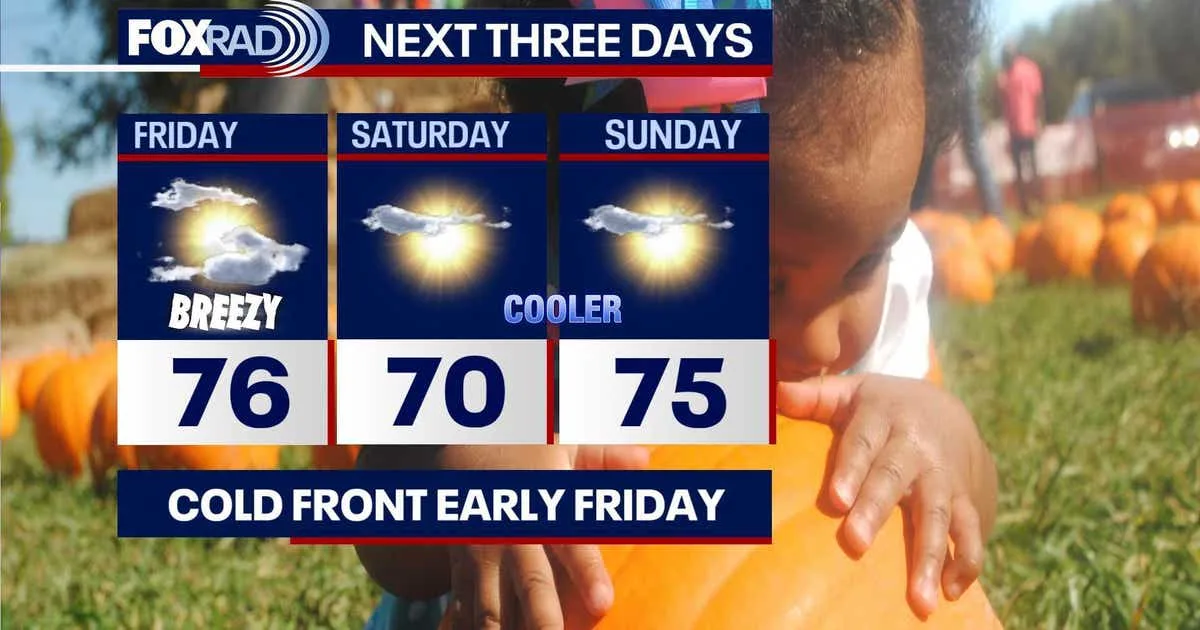
A fresh cold front is sweeping across the region, bringing refreshing changes to houston weather heading into the weekend. Residents can look forward to a significant drop in humidity levels alongside much cooler conditions following the frontal passage.
Wind Advisory and Hazardous Marine Conditions
Along with the cooler air, strengthening winds will impact the area. A formal wind advisory has been issued to cover parts of Southeast Texas, including communities such as Baytown, Sugarland, Galveston, Sealy, and Brenham. This advisory remains active from 4 AM Friday until 1 AM Saturday.
During Friday and Saturday, northern winds are projected to gust between 30 and 40 miles per hour. These brisk conditions will also create hazardous situations out in the Gulf, resulting in rough seas specifically around Galveston Bay.
Weekend Temperatures and Outlook
The updated weather houston forecast indicates that daytime highs will settle comfortably into the 70s. Meanwhile, morning wake-up temperatures across most areas will dip into the crisp 40s and 50s.
Looking Ahead to Next Week
Following the cool and dry weekend, temperatures will begin to climb back up as the new week progresses. Forecasters anticipate readings returning to the low and middle 80s, accompanied by a few incoming showers. In the broader tropical outlook, the Atlantic basin remains quiet with no tropical activity expected over the next seven days, though hurricane season officially continues through the end of November with a low but non-zero chance of Gulf activity.
Sources: FOX 26 Houston, KHOU, KSAT.