Colorado Winter Weather Advisory Snow Overview
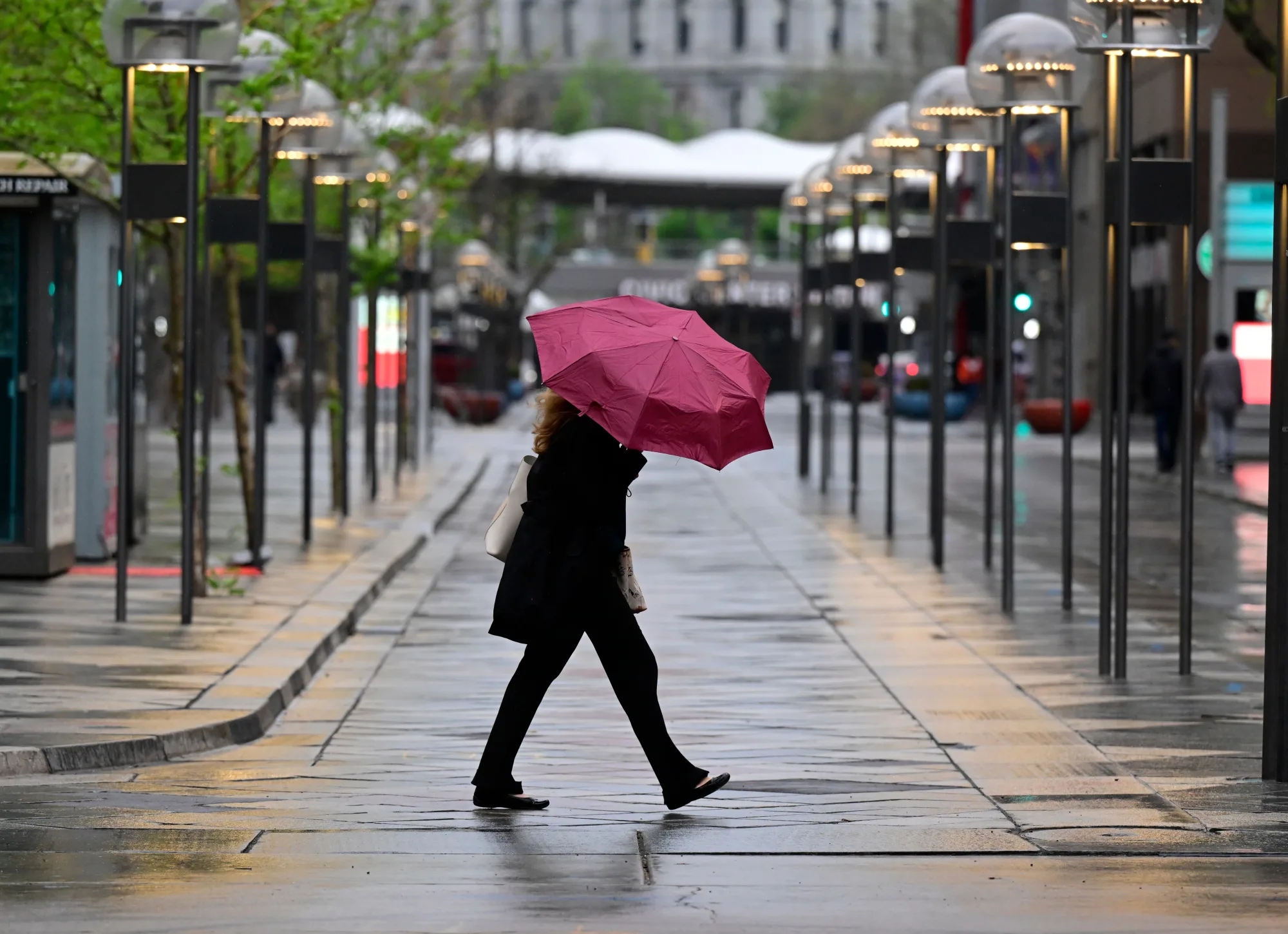
The National Weather Service has posted a colorado winter weather advisory snow for the state, signaling a shift from the unseasonably warm start to cooler, wetter conditions. Residents can expect rain in the Denver metro area and a realistic chance of snow on mountain passes above 7,000 feet as the system moves eastward.
Denver Weather Forecast
Tuesday will start partly sunny with a high near 65°F, followed by a night that sees temperatures dip into the mid‑40s and a band of rain moving into the city. Wednesday brings a higher likelihood of precipitation—about 70% during the day and up to 90% after dark—while temperatures remain in the upper 40s and fall to around 40°F overnight. Thursday continues the wet pattern with an 80% chance of rain, a high of 54°F, and a low that may approach the freezing point, forecast at 34°F.
High‑Elevation Snow Potential
Although most of the lower valleys will see rain, the advisory notes that snow could develop at elevations exceeding 7,000 feet. This includes sections of the I‑70 corridor and other mountain passes where slick conditions are possible. Drivers are urged to prepare for potentially hazardous road surfaces in these higher areas.
Freeze Watch for San Luis Valley
A separate freeze watch has been activated for the San Luis Valley. Overnight temperatures on Wednesday into Thursday could drop to as low as 27°F, creating a risk of frost for agriculture and early‑season vegetation.
What Comes Next?
Friday is expected to clear, with sunshine returning and daytime highs climbing back to the low 60s in Denver. The weekend should bring a gradual warming trend, with daytime temperatures reaching the mid‑70s by Sunday. Residents should remain alert for lingering chances of rain early in the week and monitor local forecasts for updates on mountain snowfall and road conditions.
Sources: The Denver Post, Colorado Public Radio, Denver Gazette.