

Severe Weather and Tornado Watch Issued for Parts of Minnesota and Wisconsin
A tornado watch has been declared for portions of Minnesota and Wisconsin as severe afternoon thunderstorms bring risks of large hail and damaging winds.

Severe Storms Prompt a Tornado Watch Across Minnesota and Wisconsin
A tornado watch has been established for multiple areas across Minnesota and Wisconsin as a wave of severe afternoon thunderstorms tracks through the region. Meteorological authorities are closely monitoring the progression of the storm cells, which are generating heavy downpours, intense winds, and large hail.
Current Warnings and Impacted Communities
Earlier in the day, the National Weather Service issued active warnings for several specific zones. Tornado warnings were put in place for Dakota and Goodhue Counties until 5:30 p.m., affecting locations southeast of the Twin Cities metro such as Cannon Falls, Hampton, and Randolph. Residents in those areas were advised to seek immediate shelter in the lowest level of a building inside an interior room away from windows.
Additionally, Severe Thunderstorm Warnings were designated for Dakota, Rice, and Scott Counties until 5 p.m., covering communities like Lakeville, Apple Valley, and Rosemount. A separate warning was logged for parts of Meeker, Stearns, and Wright counties—including Annandale, Kimball, and Watkins—until 2:45 p.m.
Hail and Rotation Reports
Storm cells tracking east and northeast from Rice to Dakota County showed several indications of rotation. Central Minnesota experienced particularly intense conditions, highlighted by a notable report of 3-inch hail near Atwater in Kandiyohi County shortly before 2:00 p.m. Other areas witnessed smaller hail coupled with steady rainfall.
Outlook for the Twin Cities and Surrounding Regions
The Twin Cities metro area remains under a Level 2 slight risk for severe weather conditions, which encompass potential isolated tornadoes, damaging winds, and large hail. As the regional weather system continues to push toward the northeast, authorities and meteorologists continue to provide live updates regarding the duration and movement of the active storm fronts.
Sources: FOX 9 Minneapolis-St. Paul, WEAU, 5 EYEWITNESS NEWS.
Frequently asked questions
Where is the tornado watch currently in effect?
Which areas faced tornado warnings?
What were the primary severe weather hazards reported?
Are there warnings currently in the Twin Cities metro?
Related stories
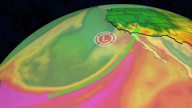
Central Arizona Floods Trigger Evacuations and Severe Weather Warnings
Mandatory evacuations and road closures unfold as an atmospheric river brings heavy rain and a heightened flash flood threat to parts of the region.
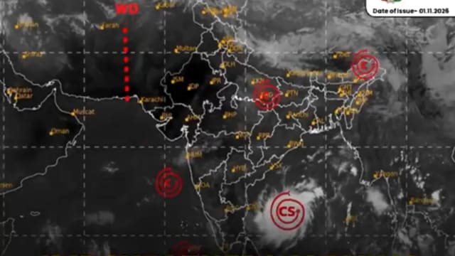
चक्रवात मुरासु का खतरा: आंध्र प्रदेश और तटीय क्षेत्रों में अलर्ट जारी
चक्रवात मुरासु के आंध्र प्रदेश तट की ओर बढ़ने के कारण संबंधित राज्यों में हाई अलर्ट जारी किया गया है और आपातकालीन तैयारियां तेज कर दी गई हैं।

Michigan vs Rutgers: Wolverines Secure 28-21 Victory Over Scarlet Knights
Michigan football defeated Rutgers 28-21 on Halloween at SHI Stadium, holding off a fierce fourth-quarter comeback by the Scarlet Knights.

Arizona Faces Weather Tomorrow With Approaching Storm Systems
A series of incoming weather systems will bring scattered showers, potential flooding risks, and cooler temperatures across Arizona over the weekend.