

Statewide Weather Update: Flood Watch and Rainfall Totals Across Hawaii
A surface trough bringing heavy rain and thunderstorms has placed parts of Hawaii under a flood watch, though overall conditions remain beneficial.
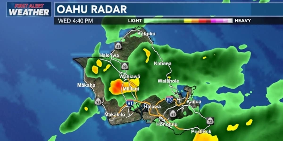
Current Weather System and Flood Watch Details
A surface trough shifting over the eastern half of the state continues to present a threat of minor flooding and ponding. Because of this unstable airmass and the potential for heavy rain, a flood watch remains in effect for Oahu, Molokai, Lanai, Maui, Kahoolawe, and Hawaii Island through early Thursday. Kauai is no longer included under the active watch advisory.
Meteorologists note that the airmass overhead is carrying double its usual amount of moisture. This elevated moisture content creates a higher capacity for heavier downpours and maintains a more humid environment across the region.
Rainfall Totals and Island Impacts
Heavy rain and thunderstorms have targeted Maui County and parts of Hawaii Island, including the Hamakua coast. On Molokai, rising waters led to flooded roads and prompted the closure of all local schools on Wednesday.
Despite these localized impacts, overall rainfall totals have proven beneficial. Molokai recorded the highest rainfall amounts, whereas Kauai received the least. Hawaii Island totals range from a trace up to roughly 3 inches in certain areas, though precipitation has not been uniform.
Forecasters point out that these rainfall totals are generally lower than original weather model projections. Because the upper-level jet and dynamics of the broad trough were less intense than anticipated, many neighborhoods experienced light drizzle rather than severe thunderstorms.
Forecast and Expected Improvements
Moderate to heavier showers alongside isolated thunderstorms are expected to persist along their current track through tonight. Lighter showers will likely focus on windward and mauka areas over the western end of the state.
Weather conditions are anticipated to improve by Thursday or Friday. A brief period of trade winds is projected to return late Friday into Saturday, followed by breezy northeast winds on Sunday as a shallow front approaches. Residents tracking forecasts for Halloween trick-or-treating should prepare for potentially wet conditions primarily limited to windward and mauka neighborhoods.
Sources: Hawaii News Now, KHON2, Honolulu Star-Advertiser.
Frequently asked questions
Which islands are currently under a flood watch?
Why were schools closed on Molokai?
How much rain has Hawaii Island received?
When are weather conditions expected to improve?
Related stories
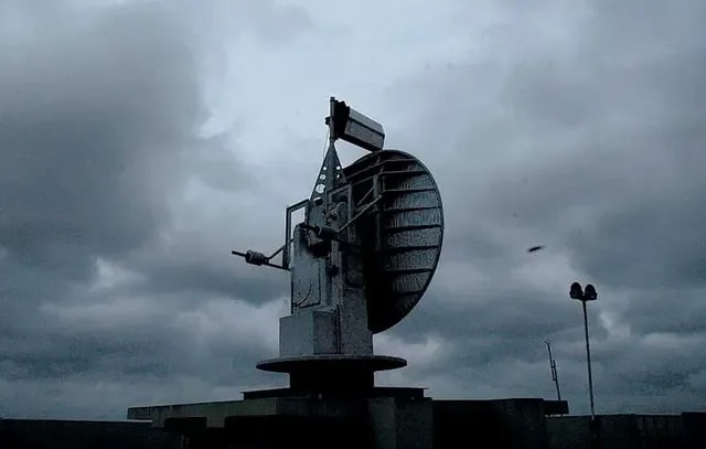
ప్రజాశక్తి: Weather Updates Reveal Upper Air Circulation Over Region
Meteorological officials report an active upper air circulation influencing weather patterns, bringing potential rain forecasts to specific districts.
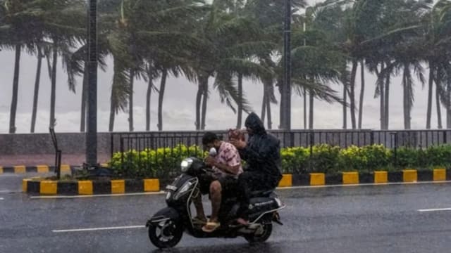
ಕರ್ನಾಟಕ ಹವಾಮಾನ ಮುನ್ಸೂಚನೆ: ರಾಜ್ಯದಲ್ಲಿ ಮಳೆ ಮತ್ತು ಒಣಹವೆ ವರದಿ
ಕರ್ನಾಟಕದಲ್ಲಿ ಹವಾಮಾನ ಮುನ್ಸೂಚನೆ ಪ್ರಕಾರ ನವೆಂಬರ್ 7 ಮತ್ತು 8ರಂದು ದಕ್ಷಿಣ ಒಳನಾಡು ಹಾಗೂ ಕರಾವಳಿಯಲ್ಲಿ ಮಳೆಯಾಗುವ ಸಾಧ್ಯತೆಯಿದೆ. ಉತ್ತರ ಒಳನಾಡಿನಲ್ಲಿ ಒಣಹವೆ ಮುಂದುವರಿಯಲಿದೆ.
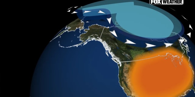
Understanding the Early Disruption Affecting the Weather Polar Vortex
The polar vortex has experienced a record-early disruption in the calendar year. Experts explain what this unusual atmospheric event means for upcoming conditions.
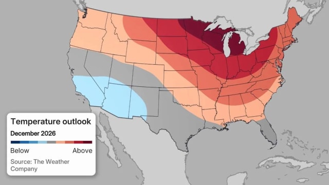
Climate Prediction Center Heavy Snow Map Shows States Facing Snow
The Climate Prediction Center’s new heavy‑snow map pinpoints a narrow Southwest band where colder‑than‑average temperatures raise the chance of significant snowfall, while most of…