

Understanding the El Nino US Winter Forecast and Super Weather Patterns
A powerful El Nino is shaping seasonal forecasts across the nation, bringing shifting jet streams, varied snowfall probabilities, and milder temperatures.

Understanding the El Nino US Winter Forecast
A potentially record-setting climate pattern is taking shape across the Pacific Ocean, directly influencing seasonal projections in the el nino us winter forecast. Meteorologists report that this natural phenomenon involves unusually warm waters in the central and eastern tropical Pacific, altering atmospheric circulation and storm tracks far beyond the region.
The influence of this climate driver on United States weather peaks during the winter months. As the jet stream shifts south and extends across the continent, it creates conditions that favor wetter weather across several regions, while northern areas often experience milder temperatures.
How Storm Tracks and Snowfall Probabilities Shift
While a wetter winter is anticipated in certain zones, experts note that increased moisture does not automatically guarantee more snow. Caching sufficient cold air is necessary for snowstorms, and warmer temperatures can easily turn precipitation into rain instead.
Historical analyses from January through March indicate that past strong events generally produced above-average snowfall across the southern United States, including the Southwest, southern Rockies, southern Plains, southern Appalachians, and Mid-Atlantic. Coastal storms and nor'easters can become particularly energetic and wet under these conditions, potentially impacting cities like Washington, D.C., and Baltimore.
Conversely, locations in the Pacific Northwest, northern Rockies, Great Lakes, and Interior Northeast have historically recorded less snow due to shifted storm paths and milder conditions.
Temperatures and Expected Variations
For the upcoming December through February period, official outlooks from the National Oceanic and Atmospheric Administration favor warmer-than-average temperatures across much of the northern and eastern United States. The Pacific jet stream is expected to flood North America with milder ocean air, making prolonged Arctic cold outbreaks more difficult to sustain.
However, forecasters emphasize that individual variations remain possible. Changes in atmospheric circulation over the Arctic and North Atlantic could still allow shorter bursts of cold air to reach the eastern United States, potentially altering storm trajectories and winter outcomes.
Sources: CNN, The Washington Post, CNN, USA Today.
Frequently asked questions
What is El Nino?
How does El Nino affect the US winter jet stream?
Which regions typically see above-average snowfall during El Nino winters?
What temperature trends does NOAA predict for the upcoming winter?
Related stories

Central Andhra Pradesh Floods and Twin Cyclones Damage Assessed
Following consecutive natural disasters linked to central andhra pradesh floods, state leaders have urged the Union government to evaluate the cumulative impact of twin cyclones.
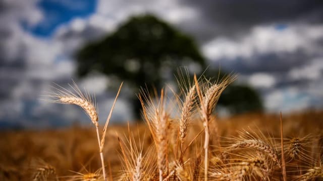
എല് നിനോ Brings Severe Drought to Kerala, Threatens Crops and Water Reserves
Heavy rains have failed across northern India, and Kerala faces a sharp drop in reservoir levels, reduced crop yields and rising food prices due to എല് നിനോ.
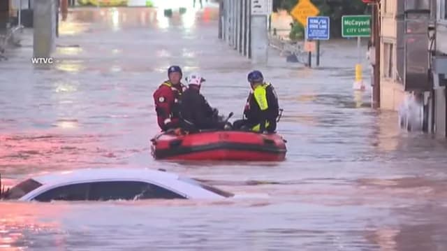
State of Emergency Declared in McCaysville GA Amid Record Flooding
A state of emergency is in effect for McCaysville GA following historic flash flooding that triggered emergency water rescues and home evacuations.
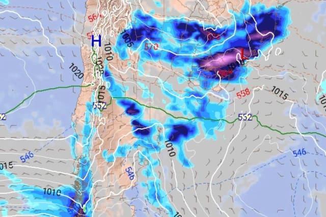
Incoming Pampero Cold Front Set to Bring Sharply Lower Temperatures
A shift in weather conditions will bring a southwestern wind known as the pampero, bringing rain and a sharp temperature drop.