

Penn State Researchers Discover Two Hidden Magma Sources Beneath Volcano
Scientists examining satellite data have uncovered two previously unrecognized magma reservoirs operating independently beneath a prominent Nicaraguan volcano.
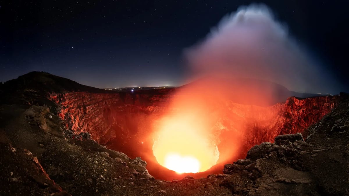
Uncovering Complex Magma Systems Beneath an Active Volcano
Scientists have uncovered evidence of a surprisingly complex underground structure beneath an active Central American volcano. Researchers at Penn State utilized six years of satellite observations to track subtle ground movements, revealing two previously unrecognized magma sources operating independently.
The active site features a prominent glowing lava lake and multiple overlapping calderas. Because approximately two million people reside within 13 miles of the structure near Nicaragua's capital, understanding these underground dynamics is considered vital for assessing potential volcanic hazards and protecting surrounding communities.
Satellite Monitoring Reveals Differing Ground Movements
To investigate subsurface developments without direct observation, researchers analyzed radar measurements collected by the Sentinel-1 satellite approximately once every 12 days. Using interferometric synthetic aperture radar (InSAR), the team tracked minute changes in surface elevation despite heavy tropical cloud cover.
Between 2018 and 2024, the data showed contrasting behaviors across the region. Initially, the ground within the caldera subsided before shifting upward, a pattern that likely reflects fresh magma entering a deep reservoir and increasing internal pressure. Meanwhile, the terrain surrounding the active Santiago crater continued to sink continuously throughout the study period, demonstrating that a separate, shallower magma reservoir was behaving differently.
Ongoing Safety Concerns and Future Monitoring
Although the volcano last produced a major lava flow in 1772, it remains a popular tourist destination and a designated national park. Persistent degassing frequently produces dangerously high concentrations of sulfur dioxide gas near the surface, creating hazardous conditions for visitors.
Experts emphasize that maintaining continuous satellite surveillance is essential for establishing baseline behavior and identifying abnormal shifts that could signal heightened activity. These insights aim to improve eruption forecasting and ensure timely warnings can be issued to the public when necessary.
Sources: Science Daily, Volcano Discovery, SuaraGarut.ID.
Frequently asked questions
What did scientists discover beneath the Masaya volcano?
How many people live near the Masaya volcano?
What technology was used to monitor the underground activity?
When did Masaya last produce a major lava flow?
Related stories

Uncovering the Unique Origins of the Teghaza 001 Martian Meteorite Sahara Discovery
A rose-tinted space rock discovered in the desert has been confirmed as one of the oldest Martian meteorites ever identified on Earth.
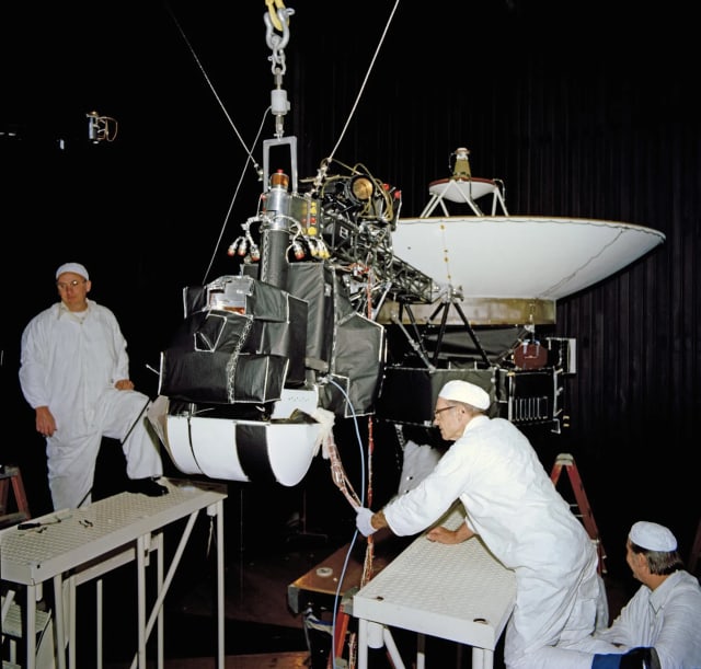
NASA Team Restores Communication With Voyager 1 After Brief Signal Loss
NASA engineers successfully re-established contact with voyager 1 following a brief forty-eight-hour communication pause as the historic probe approaches a major distance…

IISc Professor Prathosh Ap Discusses Shastras and AI with IIT Students
IISc Bengaluru professor prathosh ap recently engaged with IIT students regarding how ancient shastras connect with modern artificial intelligence and logic.
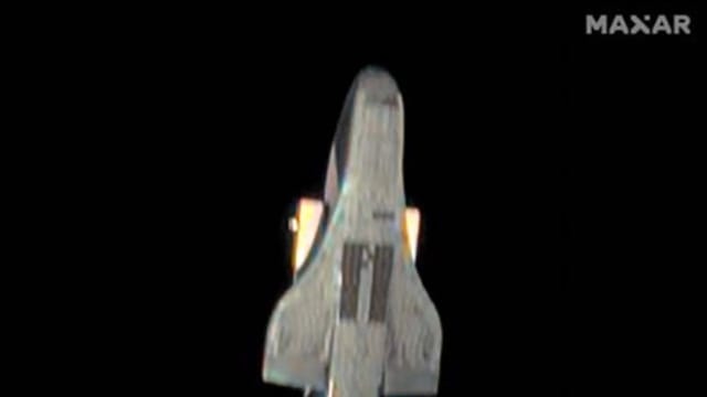
Avión Espacial Chino Fotografiado Muestra Parecido Con X‑37B De EE. UU.
Una foto de alta resolución tomada por un satélite comercial de EE. UU. revela un avión espacial chino con diseño muy similar al X‑37B estadounidense.